Live USGS earthquake data

Live earthquake map.Know how close.

Open the map and get immediate context: where it happened, how strong it was, and how far it is from you.
Coming soon to theMac App Store Get it from theMicrosoft Store
  • No account
  • No ads
  • iPhone & iPad
Feed statusLive & updated
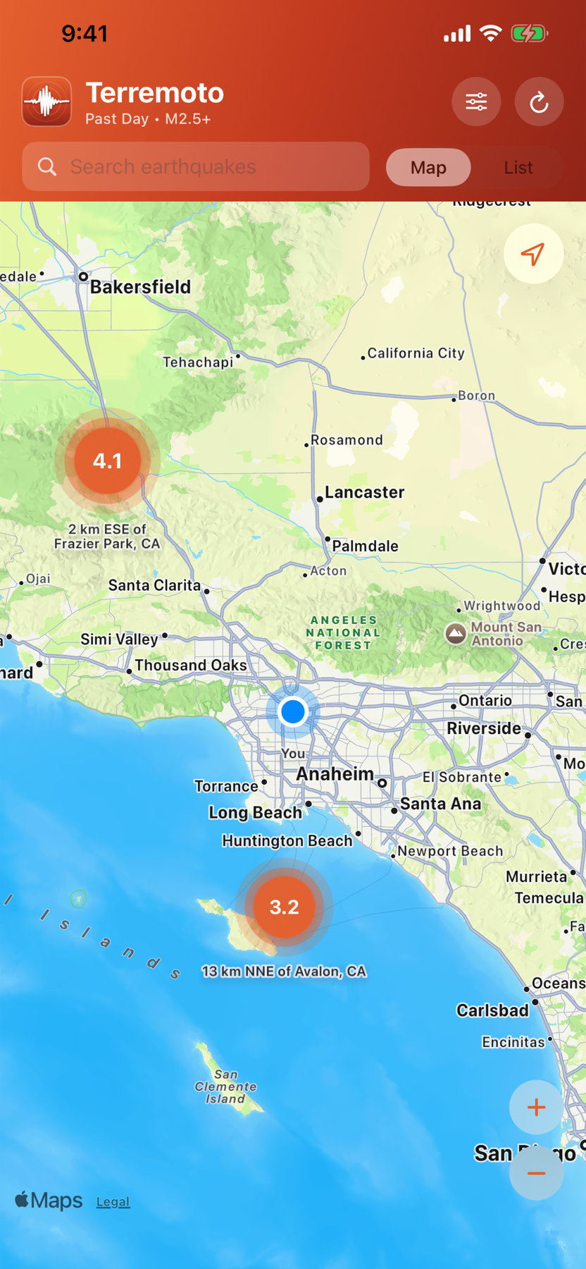
Terremoto map centered near Los Angeles with magnitude markers
Starts where you areLocation-first map
LiveUSGS public feeds
1 tapto full event context
0accounts required
Built for clarity

The facts you need.
None of the noise.

From the first glance to the full geological record, every screen is designed to answer the next natural question.

01

Start with your location

The map opens around you, with magnitude-scaled markers and distance context for nearby events.

02

Tune the feed

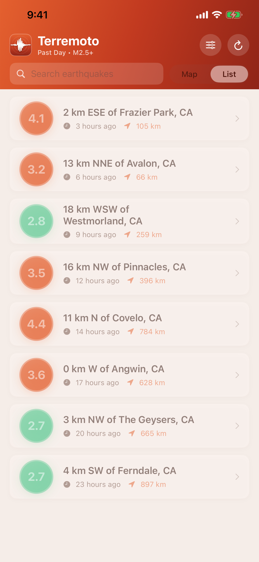
Choose the past hour, day, week, or month and set the magnitude floor that matters to you.

03

Find any place fast

Search a city, region, or country and narrow the current feed to matching events in seconds.

04

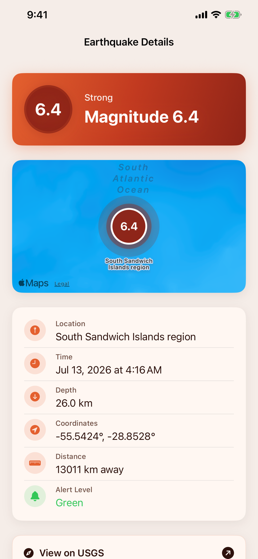
See alerts in context

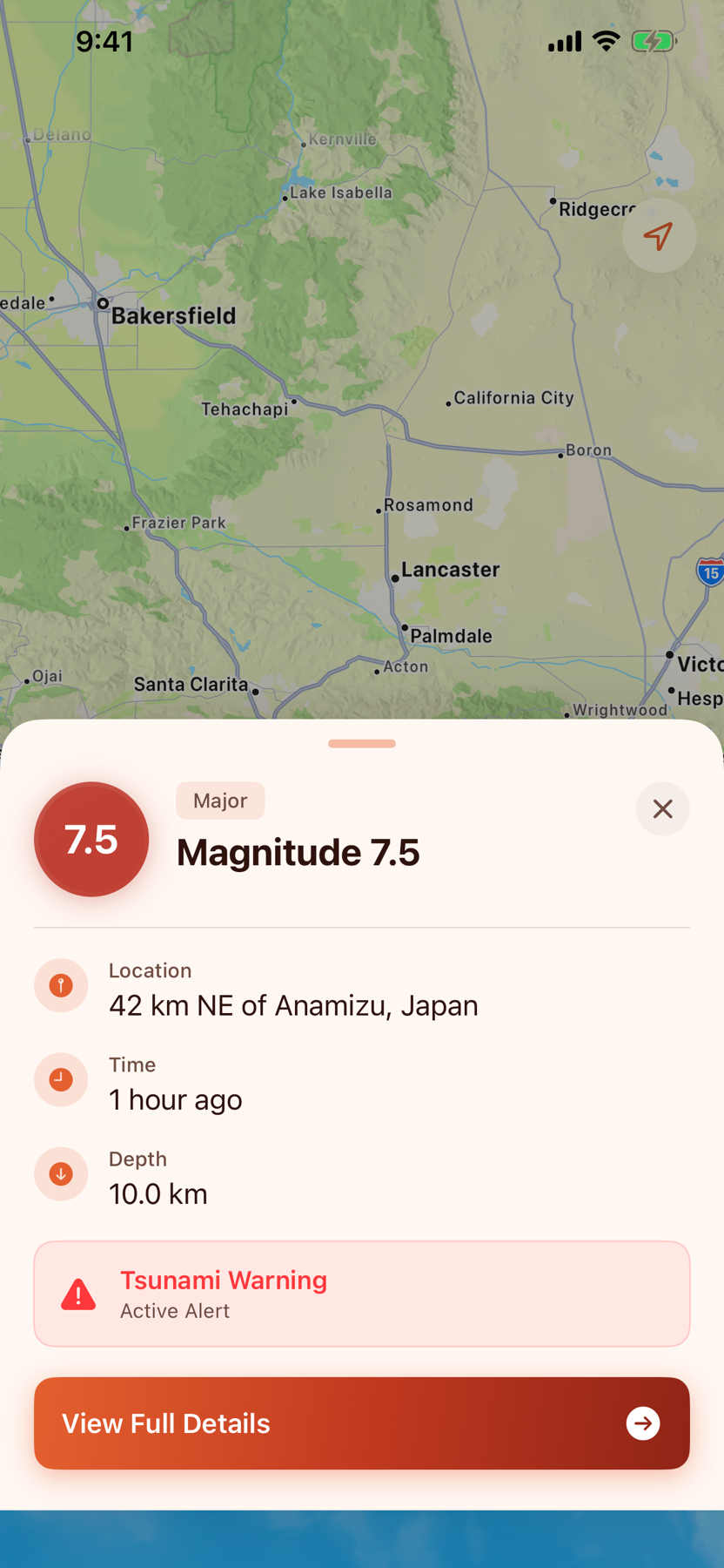
Magnitude, depth, alert level, and tsunami status stay together—plus a direct link to the official USGS event page.

A fast path to context

Scan. Tap. Understand.

Browse the nearby feed, surface urgent alerts, and open the complete event record without leaving the app.
Private by design

Your location stays yours.

No account, no ads, and no in-app tracking. Location access is optional and used on your device to calculate distances—it is not sent to Terremoto servers.

Read the privacy policy
No personal profile
No location history
No in-app ad tracking

When the ground moves,
get the facts fast.

Live earthquake context, one tap away.